ahmed_youssif

Prof. Dr. Ahmed Mohamed Youssef

Professor - Professor and Consultant of Geological Hazards and Engineering

Faculty of science

Address: Sohag -Naser city

4

Like
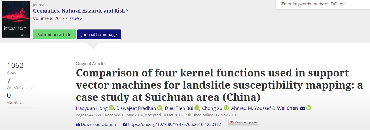
Comparison of Four Kernel Functions Used in Support Vector Machines for Landslide Susceptibility Mapping: A Case Study at Suichuan area (China).
Suichuan is a mountainous area at the Jiangxi province in Central China, where rainfall-induced landslides occur frequently. The purpose of this study is to assess landslide susceptibility of this region using support vector machine (SVM) with four kernel functions: polynomial (PL), radial basis function (RBF), sigmoid (SIG), and linear (LN). A total of 178 landslides were used to accomplish this ... Read more

Coupling of field investigations and remote sensing data for karst hazards in Egypt: Case study around the Sohag city
Karst rocks cover a wide area of Egypt. These rocks include soluble sediments such as carbonate rock formations, evaporites, and sabkha deposits that are characterized by karstification features. Karst features could affect many current and developing projects (urban areas and infrastructure). The areas covered by the rocks susceptible to karstification need detailed studies to examine the presence of karst features ... Read more

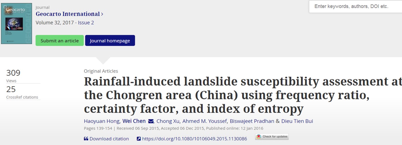
Rainfall-induced landslide susceptibility assessment at the Chongren area (China) using frequency ratio, certainty factor, and index of entropy
The main objective of the study was to evaluate and compare the overall performance of three methods, frequency ratio (FR), certainty factor (CF) and index of entropy (IOE), for rainfall-induced landslide susceptibility mapping at the Chongren area (China) using geographic information system and remote sensing. First, a landslide inventory map for the study area was constructed from field surveys and ... Read more

Slope Stability Hazard Assessment Using 3D Remote Sensing and Field Sketching Techniques Along Sohag-Red Sea-Cairo Highway, Egypt
Coupling of 3D remote sensing images, Field sketching and field investigation represent interesting techniques to understand and evaluate the slope stability problems along rock cut slopes. These methods were applied along the highway section that connects the Sohag, Red Sea, and Cairo governorates on the eastern plateau, Egypt. It is one of the most used highways in Egypt during recent ... Read more

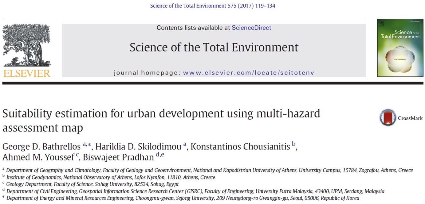
Suitability estimation for urban development using multi-hazard assessment map.
Preparation of natural hazards maps are vital and essential for urban development. The main scope of this study is to synthesize natural hazard maps in a single multi-hazard map and thus to identify suitable areas for the urban development. The study area is the drainage basin of Xerias stream(Northeastern Peloponnesus, Greece) that has frequently suffered damages from landslides, floods and ... Read more

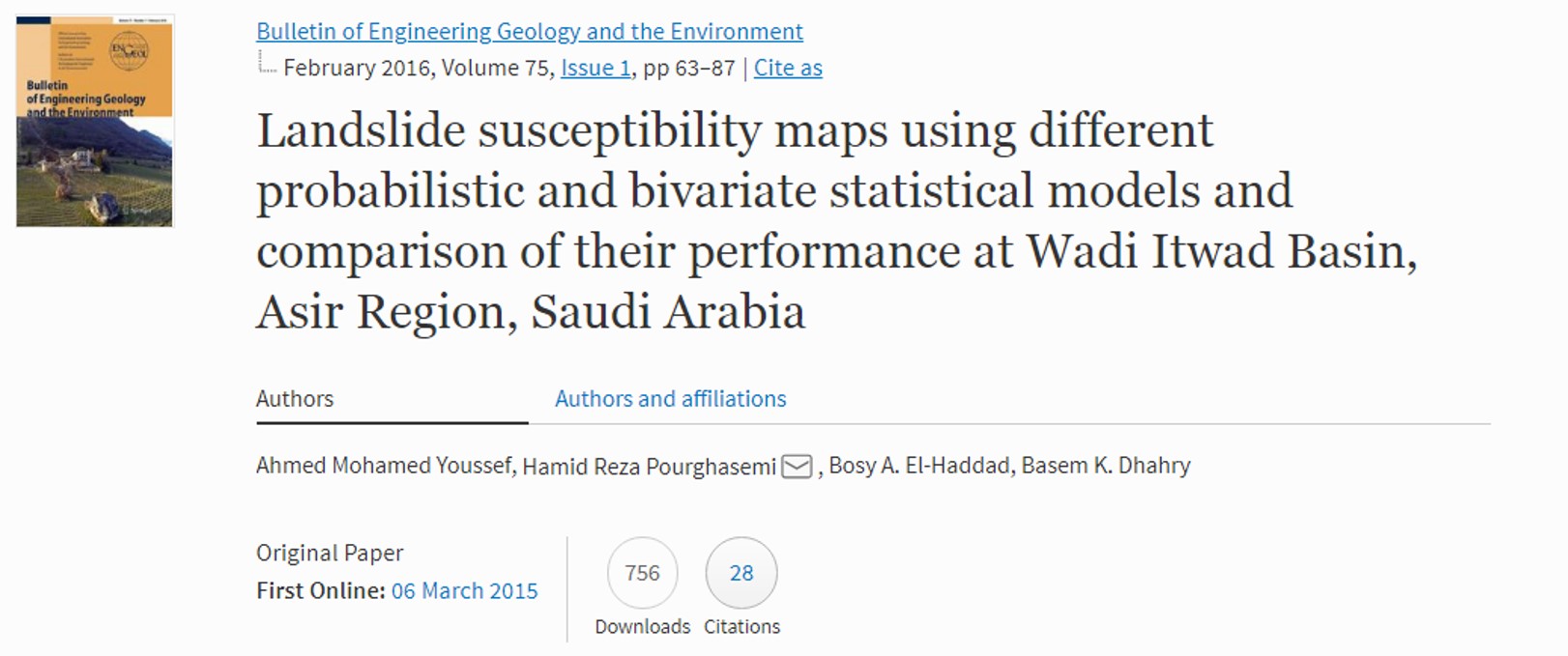
Landslide susceptibility maps using different probabilistic and bivariate statistical models and comparison of their performance at Wadi Itwad Basin, Asir region, Saudi Arabia
The purpose of the current study is to produce landslide susceptibility maps using different probabilistic and bivariate statistical approaches; namely, frequency ratio (FR), weights-of-evidence (WofE), index-of-entropy (IofE), and Dempster–Shafer (DS) models, at Wadi Itwad, Asir region, in the southwestern part of Saudi Arabia. Landslide locations were identified and mapped from interpretation of high-resolution satellite images, historical records, and extensive field ... Read more

2016 | Keywords
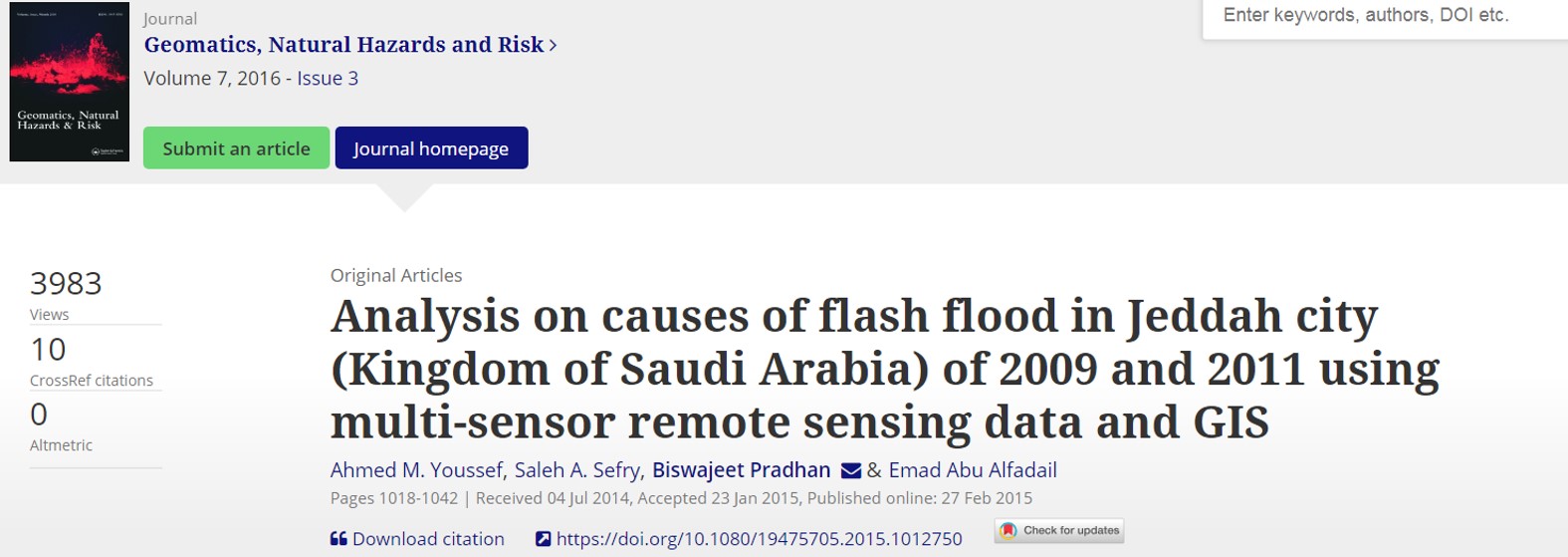
Analysis on causes of flash flood in Jeddah city (Kingdom of Saudi Arabia) of 2009 and 2011 using multi-sensor remote sensing data and GIS
The Jeddah city is located in a coastal plain area, in the middle of the western side of the Kingdom of Saudi Arabia, bounded by the Red Sea to the west and mountains to the east. Jeddah city receives rainfall runoff from the foothills through different drainage pathways (wadis). During intense rainfall events, runoff flows westward from the hills and ... Read more

2016 | Keywords Debris flow impact.,
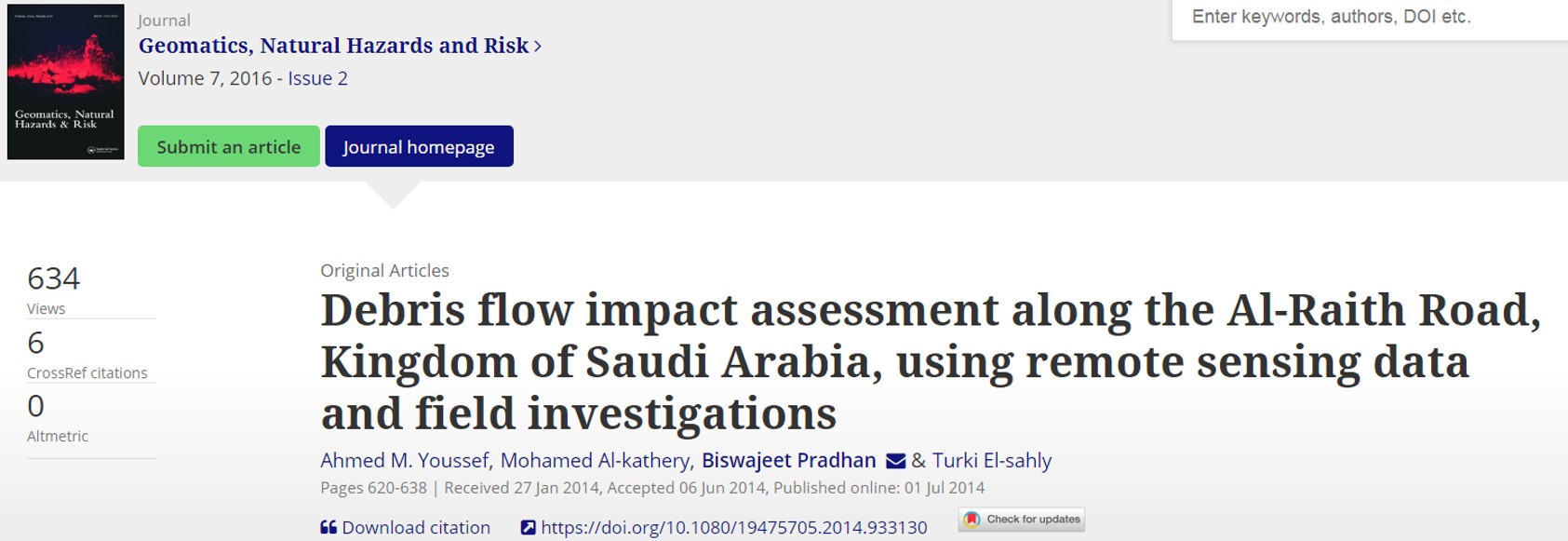
Debris flow impact assessment along the Al-Raith Road, Kingdom of Saudi Arabia, using remote sensing data and field investigations
Jizan mountainous areas in Kingdom of Saudi Arabia are suffering from a variety of slope failures. Most of these failures happen due to heavy rainfalls from time to time. These landslides include rock topples, rockslides, debris flow, and some combination of these which affected many roads, highways, and buildings. The Al-Raith Road is one of these roads connecting Red Sea ... Read more

Flash flood susceptibility assessment in Jeddah city (Kingdom of Saudi Arabia) using bivariate and multivariate statistical models
The city of Jeddah (Saudi Arabia) has experienced two catastrophic flash flood events in 2009 and 2011. These flood events had catastrophic effect on human lives and livelihoods around the wadi Muraikh, wadi Qus, wadi Methweb, and wadi Ghulail in which 113 people were dead and with 10,000 houses and 17,000 vehicles were damaged. Thus, a comprehensive flood management is ... Read more

2016 | Keywords Landslide susceptibility.,
Landslide susceptibility mapping using RF, BRT, CRT, and GL models and comparison of their performance at Wadi Tayyah Basin, Asir Region, Saudi Arabia
The purpose of the current study is to produce landslide susceptibility maps using different data mining models. Four modeling techniques, namely random forest (RF), boosted regression tree (BRT), classification and regression tree (CART), and general linear (GLM) are used, and their results are compared for landslides susceptibility mapping at the Wadi Tayyah Basin, Asir Region, Saudi Arabia. Landslide locations were ... Read more