ahmed_youssif

Prof. Dr. Ahmed Mohamed Youssef

Professor - Professor and Consultant of Geological Hazards and Engineering

Faculty of science

Address: Sohag -Naser city

4

Like
2016 | Keywords Debris flow impact.,
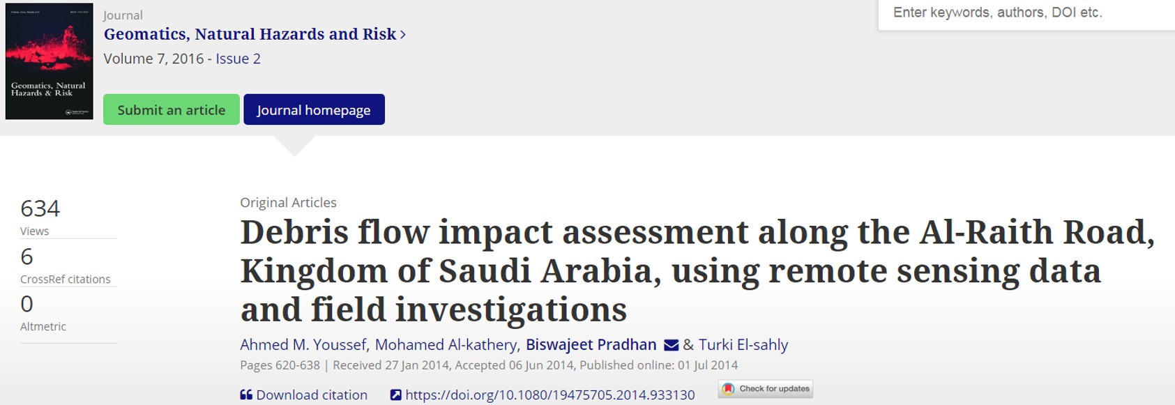
Debris flow impact assessment along the Al-Raith Road, Kingdom of Saudi Arabia, using remote sensing data and field investigations
Jizan mountainous areas in Kingdom of Saudi Arabia are suffering from a variety of slope failures. Most of these failures happen due to heavy rainfalls from time to time. These landslides include rock topples, rockslides, debris flow, and some combination of these which affected many roads, highways, and buildings. The Al-Raith Road is one of these roads connecting Red Sea ... Read more

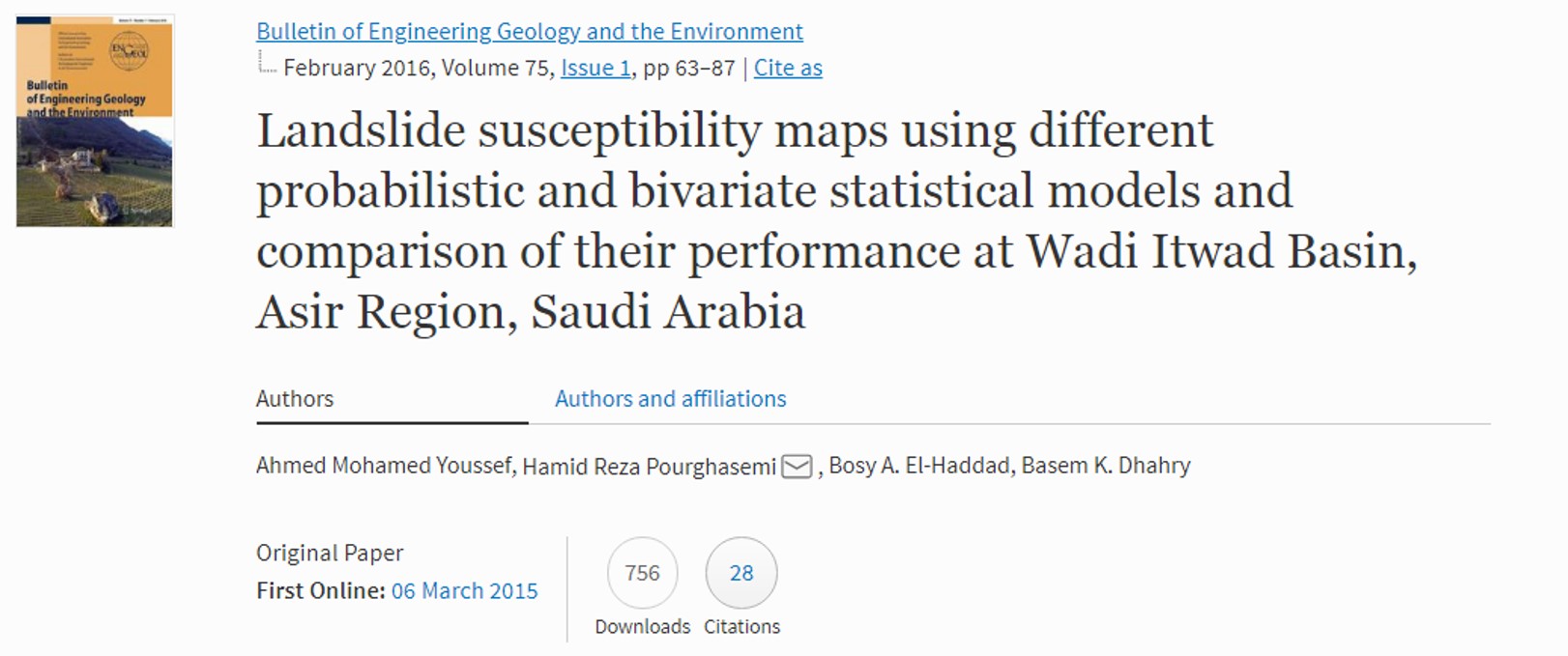
Landslide susceptibility maps using different probabilistic and bivariate statistical models and comparison of their performance at Wadi Itwad Basin, Asir region, Saudi Arabia
The purpose of the current study is to produce landslide susceptibility maps using different probabilistic and bivariate statistical approaches; namely, frequency ratio (FR), weights-of-evidence (WofE), index-of-entropy (IofE), and Dempster–Shafer (DS) models, at Wadi Itwad, Asir region, in the southwestern part of Saudi Arabia. Landslide locations were identified and mapped from interpretation of high-resolution satellite images, historical records, and extensive field ... Read more

2015 | Keywords Rockfall. Hazards. Rating.,
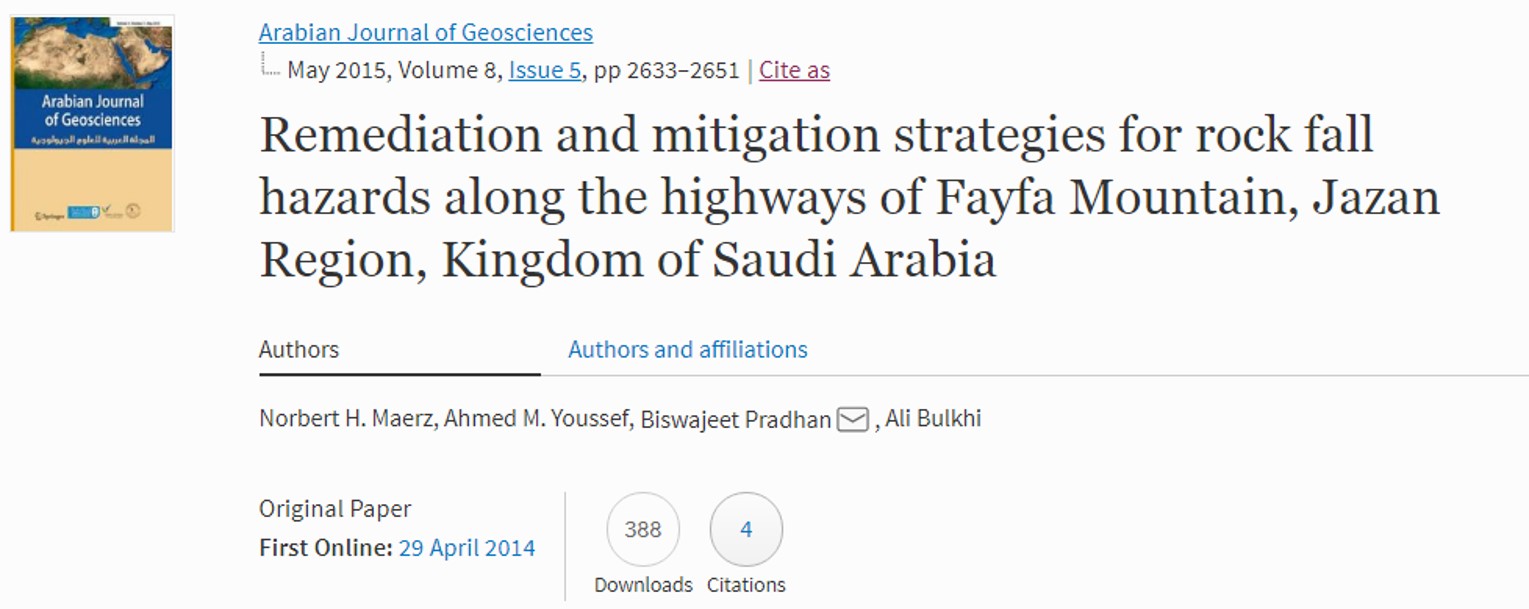
Remediation and Mitigation Strategies for Falling Rock Hazard along Highways in the Fayfa Mountain, Jizan, Saudi Arabia
A rock fall hazard rating study was conducted along the roads of Fayfa Mountain in the Kingdom of Saudi Arabia to determine hazardous zones and to specify remediation and/or mitigation measures to improve the safety of the steep mountain roads. The mountain consists mainly of a weathered and/or fractured syenite core draped with slate, phylitic, and amphibolite rocks around the ... Read more

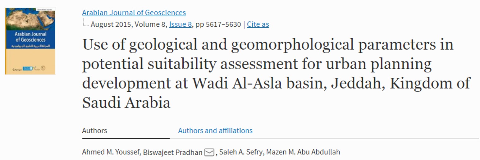
Use of geological and geomorphological parameters in potential suitability assessment for urban planning development at Wadi Al-Asla basin, Jeddah, Kingdom of Saudi Arabia
During the planning of urban environment, usually economic and social parameters are taken into consideration. As a result, urban planning areas are susceptible and vulnerable to different types of natural disasters, which cause extensive damages to these areas. In the current study, for the protection of the urban environment, a unique approach of urban planning and sustainable development is proposed. ... Read more

2015 | Keywords Flash floods. Jeddah. Dams.,
Remote sensing-based studies coupled with field data reveal urgent solutions to avert the risk of flash floods in the Wadi Qus (east of Jeddah) Kingdom of Saudi Arabia
On November 25, 2009, heavy amount of rainfall precipitated in the city of Jeddah that led to floods causing unexpected loss of life (113 person died), and damaged public and private properties (10,000 cars were damaged/destroyed, and many houses, roads, highways, and industrial properties were also affected). The city of Jeddah is located within an independent mega drainage basin with ... Read more

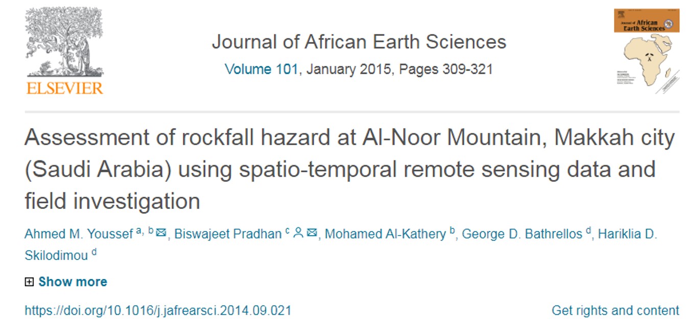
Assessment of rockfall hazard at Al-Noor Mountain, Makkah city (Saudi Arabia) using spatio-temporal remote sensing data and field investigation
Rockfall is one of the major concerns along different urban areas and highways all over the world. Al-Noor Mountain is one of the areas that threaten rockfalls to the Al-Noor escarpment track road and the surrounding urban areas. Thousands of visitors and tourisms use the escarpment track road to visit Hira cave which is located at the top of Al-Noor ... Read more

Landslide susceptibility mapping at Al-Hasher area, Jizan (Saudi Arabia) using GIS-based frequency ratio and index of entropy models
Mountain areas in the southern western corner of the Kingdom of Saudi Arabia frequently suffer from various types of landslides due to rain storms and anthropogenic activities. To resolve the problem related to landslides, landslide susceptibility map is important as a quick and safe mitigation measure and to help making strategic planning by identifying the most vulnerable areas. This paper ... Read more

Landslide susceptibility mapping using ensemble bivariate and multivariate statistical models in Fayfa area, Saudi Arabia
A comprehensive landslide susceptibility mapping (LSM) should be produced to reduce damages to individuals and infrastructures. In the international landslide literature, various statistical methods such as logistic regression (LR) and frequency ratio (FR) have been widely used individually for LSM. However, these methods have some weaknesses. This study aims to propose an ensemble method of FR and LR to overcome ... Read more

2015 | Keywords Landslides. Slope stability.,
Assessment of rock slope stability and structurally controlled failures along Samma escarpment road, Asir Region (Saudi Arabia)
Samma escarpment road is located in Asir Region, Saudi Arabia. It is located NW of Abha city. This escarpment road represents a major corridor in the area which connects different cities and touristic resorts in the region. It is descended from Sudah plateau at about 2700 m above sea level (asl) toward Wadi al Aws at about 1500 m asl. ... Read more

Landslide Susceptibility Delineation in the Ar-Rayth Area, Jizan, Kingdom of Saudi Arabia, by using analytical hierarchy process, frequency ratio, and logistic regression models
Mountain areas in the southern western corner of the Kingdom of Saudi Arabia (KSA) frequently suffer from various types of landsides induced by rainstorms and anthropogenic activities. To mitigate these problems, landslide susceptibility mapping and classification is important to develop quick and safe mitigation or remediation measures and to help the decision making in future planning by identifying the most ... Read more