ahmed_youssif

Prof. Dr. Ahmed Mohamed Youssef

Professor - Professor and Consultant of Geological Hazards and Engineering

Faculty of science

Address: Sohag -Naser city

4

Like
2015 | Keywords Landslides. Slope stability.,
Assessment of rock slope stability and structurally controlled failures along Samma escarpment road, Asir Region (Saudi Arabia)
Samma escarpment road is located in Asir Region, Saudi Arabia. It is located NW of Abha city. This escarpment road represents a major corridor in the area which connects different cities and touristic resorts in the region. It is descended from Sudah plateau at about 2700 m above sea level (asl) toward Wadi al Aws at about 1500 m asl. ... Read more

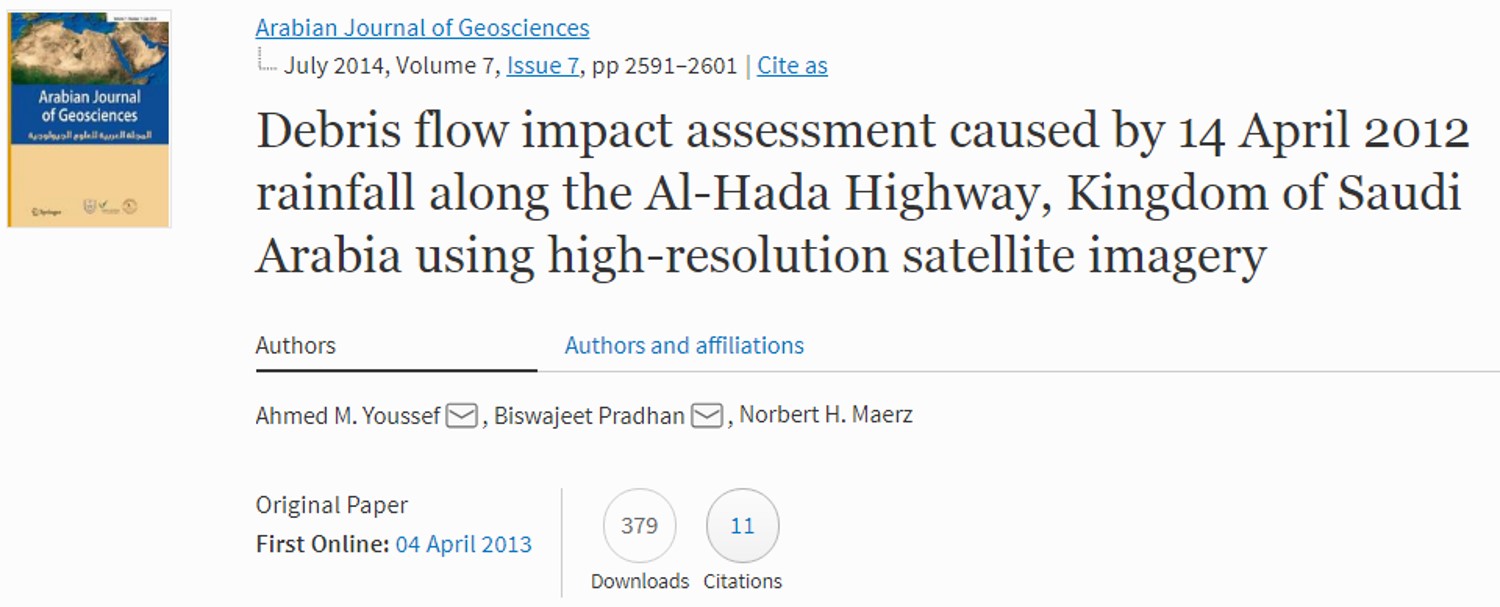
Debris flow impact assessment caused by 14 April 2012 rainfall along the Al-Hada Highway, Kingdom of Saudi Arabia using high-resolution satellite imagery
The Al-Hada highway that descends towards the west of the city of At-Taif is a major connecting highway in the western part of the Kingdom of Saudi Arabia. It is one of the series of descending roads connecting the holy city of Makkah and the city of Jeddah with the city of At-Taif and the cities farther south along the ... Read more

Earth Fissures in Wadi Najran, Kingdom of Saudi Arabia
The formation of earth fissures due to groundwater depletion has been reported in many places in North America, Europe, and Asia. Najran Basin is in the southern part of the Kingdom of Saudi Arabia, and agricultural activities and other groundwater uses have caused significant groundwater depletion there. The basin recently experienced a sudden appearance of numerous earth fissures. An interdisciplinary ... Read more

2014 | Keywords
A Remote Sensing-Based Approach for Debris-Flow Susceptibility Assessment Using Artificial Neural Networks and Logistic Regression Modeling
Efforts to map the distribution of debris flows, to assess the factors controlling their development, and to identify the areas susceptible to their occurrences are often hampered by the paucity of monitoring systems and historical databases in many parts of the world. In this paper, we develop and successfully apply methodologies that rely heavily on readily available remote-sensing datasets over ... Read more

2013 | Keywords
A Simple Method for Measuring Discontinuity Orientations from LIDAR Images
The measurement of discontinuity (joint) orientations is critical in assessing the stability of discontinuous rock slopes. The discontinuity orientations are used as input to all discontinuous modeling programs and methods, including kinematic screening methods and limited equilibrium sliding methods. Read more

Overview of Some Geological Hazards in the Kingdom of Saudi Arabia
The Saudi Arabia has harsh environmental conditions which enhance some geomorphologic/geological processes more than in other areas. These processes create different geological hazards. The general physiography of the Saudi Arabia is characterized by the Red Sea coastal plains and the escarpment foothills called Tihama, followed by the Arabian Shield Mountains, the Arabian Shelf plateau and finally the Arabian Gulf coastal ... Read more

2012 | Keywords Consequence, risk, Rating, Rock fall Hazard,
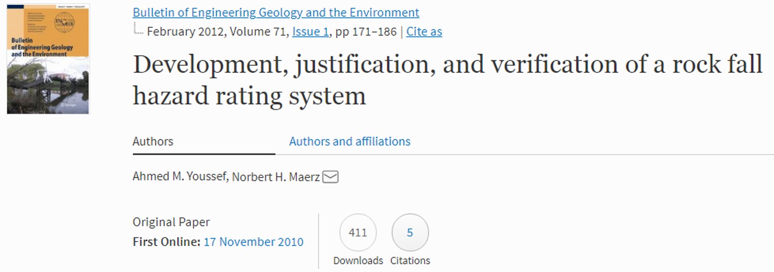
Development, Justification and verification of A Rock Fall Hazard Rating System (MORFH RS) and Prediction for the best remediation techniques
The Missouri Rock Fall Hazard Rating System (MORFH RS) was recently developed for the State of Missouri. It is a system that separates the risk of failure from the consequences of failure factors, thus allowing better assessment of the hazards of rock falls. Efficiency is gained by video logging of highway rock cuts from vehicles moving at highway speeds, pre-screening ... Read more

Stability of Rock Slopes Along Raidah Escarpment Road, Asir Area, Kingdom of Saudi Arabia
The Raidah Escarpment road is located north west of Abha city, Asir region, Kingdom of Saudi Arabia. This escarpment road represents an important corridor in the area which connects different villages and tourist resorts with each other. The total length of this road section is about 9 km which passes through a highly mountainous area. The road also passes through ... Read more

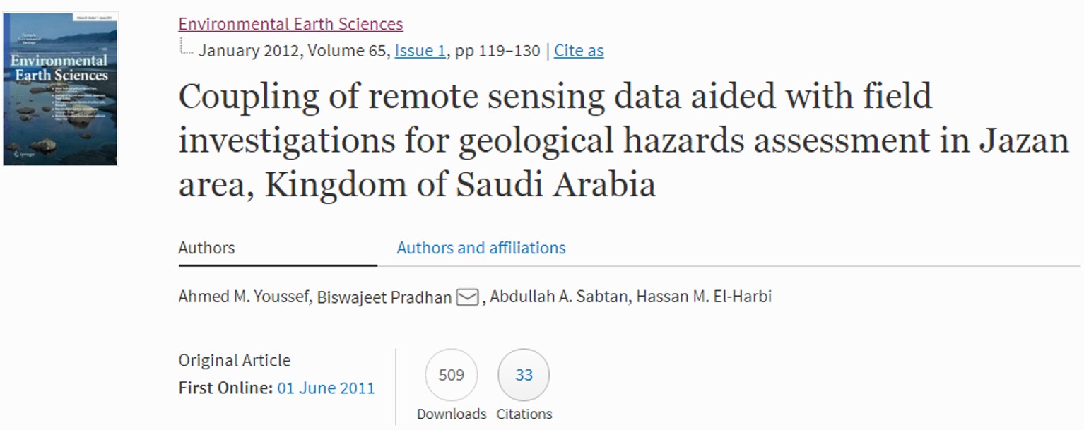
Coupling of remote sensing data aided with field investigations for geological hazards assessment in Jazan area, Kingdom of Saudi Arabia
The city of Jazan is situated on the eastern flank of the Read Sea and considered as one of the fastest growing cities in the Kingdom of Saudi Arabia. This zone attracts a lot of investors for various development projects. Recently, many new projects have been implemented and constructed in this region including new urban areas, infrastructures, and industrial projects. ... Read more

Sinkholes detection using Electrical Resistivity Tomography (ERT) in Saudi Arabia
Karst phenomena exist in different areas in the Kingdom of Saudi Arabia, causing serious environmental problems that affect urban development and infrastructure (buildings, roads and highways). One of the most important problems are sinkholes, which most of the time consist of unfilled voids. These sinkholes are formed as a result of the chemical leaching of carbonate and evaporite formations by ... Read more