Welcome in my website
Firstly, sincere appreciation to all members o the Electronic gate of sohag university.
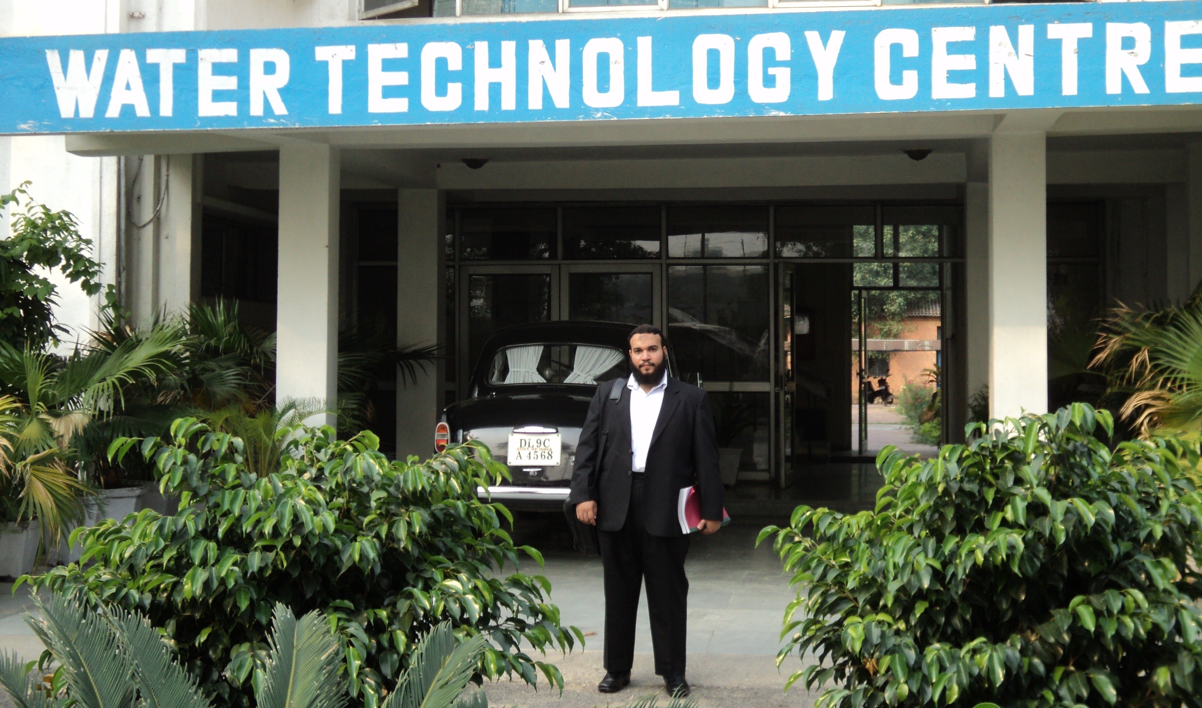
I am a soil scientist specializing on soil Pedology. I got my Ph.D. degree in water Science and technology from Water Technology Center (WTC), Indian Agriculture Research Institute (IARI), New Delhi, India.
I worked under the supervision of well known scientists. One of them is Dr. Man Singh, Principal Scientist, Water Technology Centre, IARI. The most important one is Dr. Rabi Naryan Sahoo, Principal Scientist, Division of Agricultural Physics, IARI. He considered as the father of remote sensing and GIS in the Institute.
I finished my Ph.D. thesis that related to land degradation assessment using RS and GIS technique. I have extended my research work in the field of soil pedology and studied many agricultural problems especially soil and irrigation water in Sohag Governorate by using these novel techniques.
I have received a fund from STDF to study the Integrating GIS and Multi Criteria Decision Making (MCDM) Approach for Land Suitability Analysis under Different Land Uses, Sohag area, Egypt. Many results and recommendations will be given to the decision makers during the next period.
Wish you a very happy time when you go through my website
محاضرات مقرر علاقة التربة بالنبات والماء لطلاب المستوي الثاني (برنامجي الانتاج النباتي والأراضي )سيتم رفعها علي الموقع
Read more
تقرر عقد إمتحان أعمال السنة لطلالب المستوي الثالث مادة الري والصرف في ميعاد المحاضرة
Read more
المؤتمر الدولي العاشر للجيوفيزياء للبحث العلمي ” الطاقة المتجددة واستدامة المياه تنظم كلية العلوم جامعة طنطا المؤتمر الدولي العاشر للجيوفيزياء للبحث العلمي ” الطاقة المتجددة واستدامة المياه” والذي سوف يعقد بمركز المؤتمرات بالجامعة في الفترة من 20-21 نوفمبر 2018
Read more
The knowledge of land capability classification (LCC) is a prerequisite and important for planning of agriculture development programs. The capability of land depends upon the characteristics of the land such as texture, soil depth, topography, salinity, drainage, calcium carbonate and so on. Considering these input parameters, (LCC) decision tree was utilized usingIterating Dichotomizer 3 algorithm (ID3) for evaluating the land ...
Read more
The main objective of this study is to assess and map the actual and potential productivity of the soils of the QenaGovernorate, Egypt using remote sensing integrated with GIS technique.Twenty nine soil profiles represent the studied area were chosen on the basis of both geomorphological information and agricultural land use. The locations of the soil profiles were accurately defined with ...
Read more
A Study was attempted to assess the infiltration Characteristics of the Major Soils of Sohag Governorate, Egypt. Twelve soil profiles were exposed andmorphologically examined to represent the soils of the study area. Horizon wise soil samples were taken and analysis for physical and chemical properties. The Field measurements of infiltration were made for five hours using a double ring infiltrometer ...
Read more
Soil suitability is prerequisite for sustainable agriculture and it plays a pivotal role in crop production especially in degraded lands. In this study, an attempt was made to assess the soil suitability of Kheragarah tehsil for production of major crops during rabi and kharif seasons. Six pedons of the tehsil were studied for their physical and chemical properties and their ...
Read more
In this study an attempt was done to assess the change of agricultural land in Sohag province, Egypt between 1987 and 2012. Decision Tree Classifier (DTC) was applied to map land cover changes in the study area. Landsat ETM+ satellite data of two years viz., 1987 and 2012 have been used in the study. Three remote sensing derived indices namely, ...
Read more
بحث مهم يوضح استخدام الاقمار الصناعية في دراسات البيئة والمياة
Read more
امتحانات مقرر الاستشعار عن بعد لطلاب الدراسات العليا بالقسم
Read more
امحانات نظم المعلومات الجغرافية (للدراسات العليا)
Read more
