ahmed_youssif

Prof. Dr. Ahmed Mohamed Youssef

Professor - Professor and Consultant of Geological Hazards and Engineering

Faculty of science

Address: Sohag -Naser city

4

Like
2009 | Keywords Slope Stability. Highway,
Slope Stability Hazard Assessment and Mitigation Methodology Along Eastern Desert Aswan-Cairo Highway, Egypt
The highway between Aswan and Cairo on the eastern bank of the Nile Valley is one of the most used highways in Egypt, connecting most of the governorates with each other. It represents the backbone of Egyptian transportation and commercial traffic. This Highway passes through a two kilometer section of rock cut located 20 km north of New Assiut city. ... Read more

2009 | Keywords GIS. Paleodrainages. SRTM.,
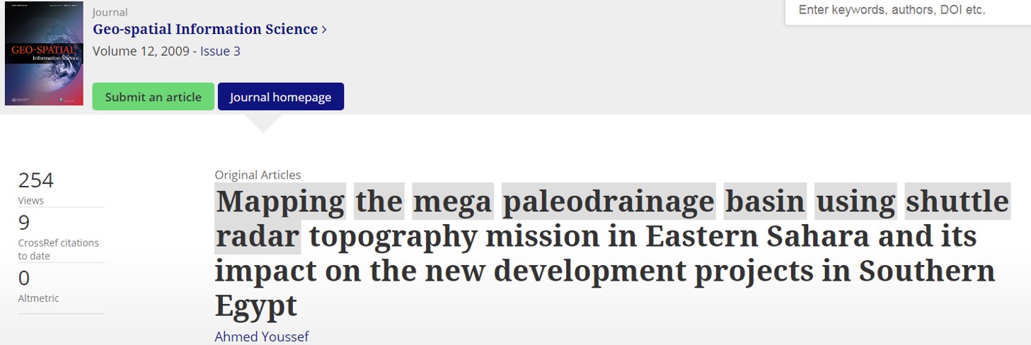
Mapping the mega paleodrainage basin using shuttle radar topography mission in Eastern Sahara and its impact on the new development projects in Southern Egypt
In the current study, the shuttle radar topography mission (SRTM) data, with ∼90 m horizontal resolution, were used to delineate the paleodrainage system and their mega basin extent in the East Sahara area. One mega-drainage basin has been detected, covering an area of 256 000 km2. It is classified into two sub mega basins. The Uweinate sub mega basin, which ... Read more

2009 | Keywords Eastern Desert. Basement,
Lithological Mapping Using Landsat Enhanced Thematic Mapper In The Central Eastern Desert, Egypt: Case Study: Area Suround Gabal Al Haded
In the current study we proposed a new band ratio combination by using Landsat Enhanced Thematic Mapper (ETM+) image. The new proposed band ratio has been tested for its effectiveness in four regions in the study area. This proposed band ratio (5/3, 3/1, 7/5 in RGB respectively) with the help of supervised classification technique succeeded in discrimination of different types ... Read more

2009 | Keywords Geomophological hazard,
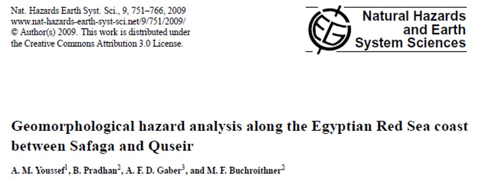
Geomorphological hazard analysis along the Egyptian Red Sea coast between Safaga and Quseir
Geomophological hazard assessment is an important component of natural hazard risk assessment. This paper presents GIS-based geomorphological hazard mapping in the Red Sea area between Safaga and Quseir, Egypt. This includes the integration of published geological, geomorphological, and other data into GIS, and generation of new map products, combining governmental concerns and legal restrictions. Detailed geomorphological hazard maps for flooding ... Read more

2009 | Keywords Slope instability. Hazard.,
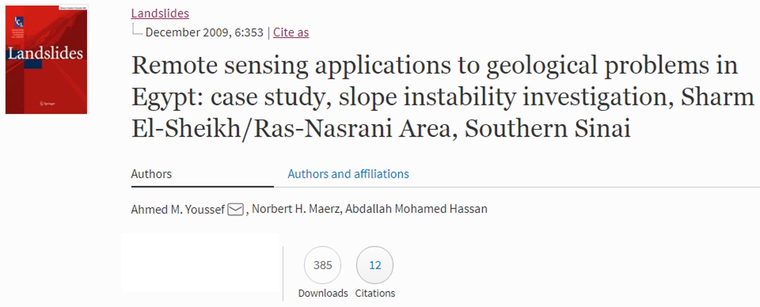
Remote sensing applications to geological problems in Egypt: case study, slope instability investigation, Sharm El-Sheikh/Ras-Nasrani Area, Southern Sinai
The Sharm El-Sheikh/Ras-Nasrani area is one of the most attractive tourist resorts in Egypt particularly and in the world in general. The area has been rapidly growing during the last few years. Many construction projects including villages, hotels, beaches, and roads have recently been undertaken. The following study demonstrates the use of high-resolution satellite images, QuickBird imagery, acquired on June ... Read more

2008 | Keywords RS. Site Investigation.,
INVESTIGATION OF NEW PROPOSED SOHAG - HURGHADA HIGHWAY ACROSS THE EGYPTIAN EASTERN DESERT USING GEOGRAPHIC INFORMATION SYSTEMS AND REMOTE SENSING TECHNIQUES
In mountainous environment such as the area between Sohag and Hurghada, a vital highway has been proposed. Mapping and evaluating the complex geographical, geomorphological, geological, and environmental impact processes, using remote sensing and GIS techniques have been implemented in this study, to predict the more favorable path for the proposed highway. Different types of thematic, environmental, and economic data records, ... Read more

2008 | Keywords RS. Geotechnical assessment,
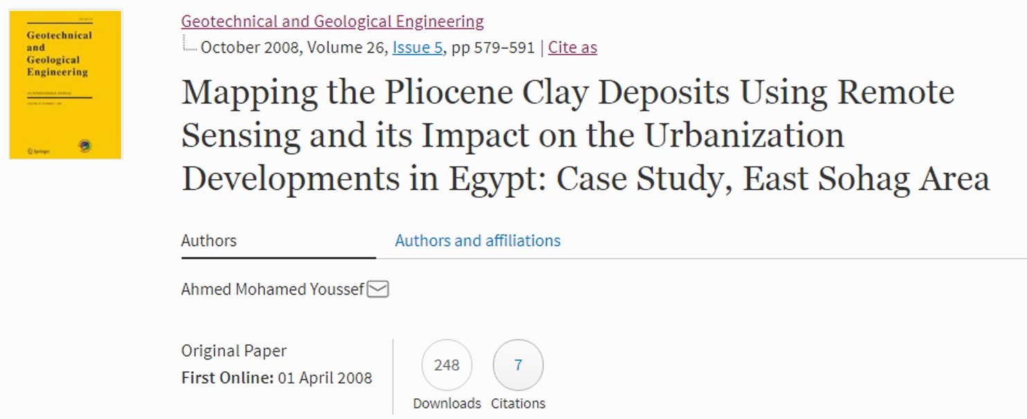
Mapping the Pliocene Clay Deposits Using Remote Sensing and its Impact on the Urbanization Developments in Egypt: Case Study, East Sohag Area
In the current study, Thematic Mapper image was compiled along with field and laboratory investigation results to map the Pliocene clay deposits. These deposits have high swelling potential; consequently they will have a negative impact on the urbanization expansion surrounding the flood plain zone (Low desert zone) in Egypt. Principle Component and Minimum Noise Fraction techniques with the help of ... Read more

2008 | Keywords Material mapping,
An Enhanced Remote Sensing Procedure for Material Mapping in the Western Desert of Egypt: A Tool for Managing Urban Development
Recently, both the Egyptian government and private sector have been interested in developing low desert zone areas. The low desert zones are located between the recent Nile flood plain and the limestone plateau, from the east and west sides, and represent an important source of aggregate materials. The development of these areas, however, will reduce the supply of aggregate materials ... Read more

2008 | Keywords New Lakes of Sahara. Egypt,
Rise and demise of the New Lakes of Sahara
Multispectral remote sensing data and digital elevation models were used to examine the spatial and temporal evolution of the New Lakes of Sahara in southern Egypt. These lakes appeared in September 1998, when water spilled northwestward toward the Tushka depression due to an unusual water rise in Lake Nasser induced by high precipitation in the Ethiopian Highlands. Five lakes were ... Read more

2008 | Keywords Geo-environmental hazards,
Overview Of The Potential Geo-Environmental Hazards In The Low Desert Zone, Nile Valley, Egypt; Case Study: New Projects West Of El-Kawamel Village, Sohag
THE OLD FLOOD PLAIN OF THE RIVER NILE, EGYPT, SITUATED BETWEEN THE RECENT FLOOD PLAIN OF THE RIVER NILE AND THE LIMESTONE PLATEAU, HAS BEEN CHALLENGED FROM DIFFERENT TYPES OF GEO-ENVIRONMENTAL HAZARDS. THIS ZONE IS UNDER THE FOCUS OF THE GOVERNMENT, ORGANIZATIONS, AND PRIVATE SECTORS FOR DIFFERENT ACTIVITIES AND INVESTMENTS. MANY PROJECTS HAVE BEEN ASSIGNED AND CONSTRUCTED IN THIS ZONE ... Read more